|
USA began a long-term archaeological study of Old Mobile in 1989, and while much of the town has been investigated, the location of Fort Louis de la Louisiane is not yet known.
The first attempts to locate the fort began in December 2001 under the direction of Dr. Gregory Waselkov, director of USA's Center for Archaeological Studies. He led the search using three non-invasive remote sensing technologies--earth conductivity, magnetometry and thermal imaging.
The NCPTT grant will allow Waselkov this winter to employ two additional remote sensing techniques-electrical resistivity and ground penetrating radar-to comb areas covered three years ago. The objective is not only to locate Fort Louis, but also to evaluate the effectiveness of the five modern remote-sensing technologies in conditions common to the Gulf coastal plain.
"All five of these methods involve using electronics to find out what's below the ground without actually disturbing it," Waselkov explained. "Now you don't have to dig to get data."
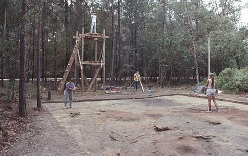
In recent years, Waselkov said the archaeology team has dug several exploratory trenches in the area where they thought the fort might be located, but the work was very slow and tedious.
"It's not a very efficient way to do it," Waselkov said. "We could miss the fort by an inch or two and not ever know. Instead of blindly trenching, I thought it would be best to bring out these other two technologies."
Waselkov's comparative study of the remote sensing technologies and the continued search for Fort Louis was made possible through the steadfast support of the Friends of Old Mobile Inc., a non-profit organization founded in 1990 to preserve, explore and document the history of Old Mobile.
"These new detection methods will give NCPTT hard evidence of the value of each of these modern technologies that can be used at other archaeological sites throughout the country," said Joy Klotz, president of the Friends of Old Mobile. "With a bit of good fortune, we may also see the mystery of the location of Fort Louis solved."
For more information contact Renee Paul, USA Public Relations at
(251) 460-6640.
|